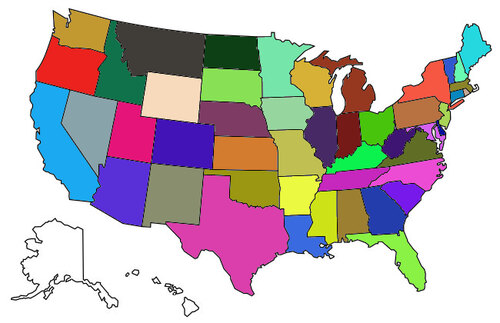
We are looking forward to tomorrow’s photos, they should start showing the changes that they have been predicting.


We are full time travelers searching for new adventures and roads less traveled. We are learning to live our lives from a new spiritual awareness…a "No Worries", "Hakuna Matata" philosophy. Join us on our journey and please feel free to leave your comments, suggestions or questions. We love hearing from our readers!


No comments:
Post a Comment